… helping you get a bit smarter
What Planes Look like in Google Maps
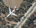
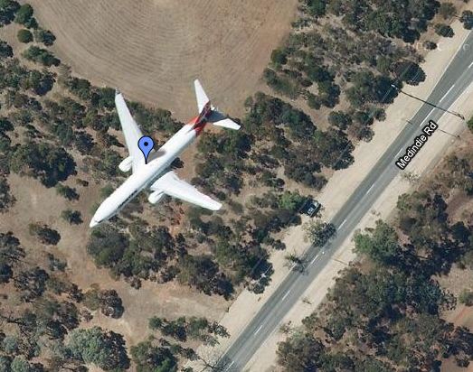
Google Maps has captured some amazing footage in Streetview, Satellite and terrain modes. Here is a satellite image of a plane flying over Adelaide, Australia.
View plane in a larger map
| Print article | This entry was posted by admin on May 28, 2011 at 12:44 pm, and is filed under Planes in Google Earth. Follow any responses to this post through RSS 2.0. You can leave a response or trackback from your own site. |


